ICE AGE
A giant ice sheet covered northern Europe during prehistoric times. In this story we show you how this powerful mass of ice dramatically transformed Europe at a time when humans first came to populate the continent.
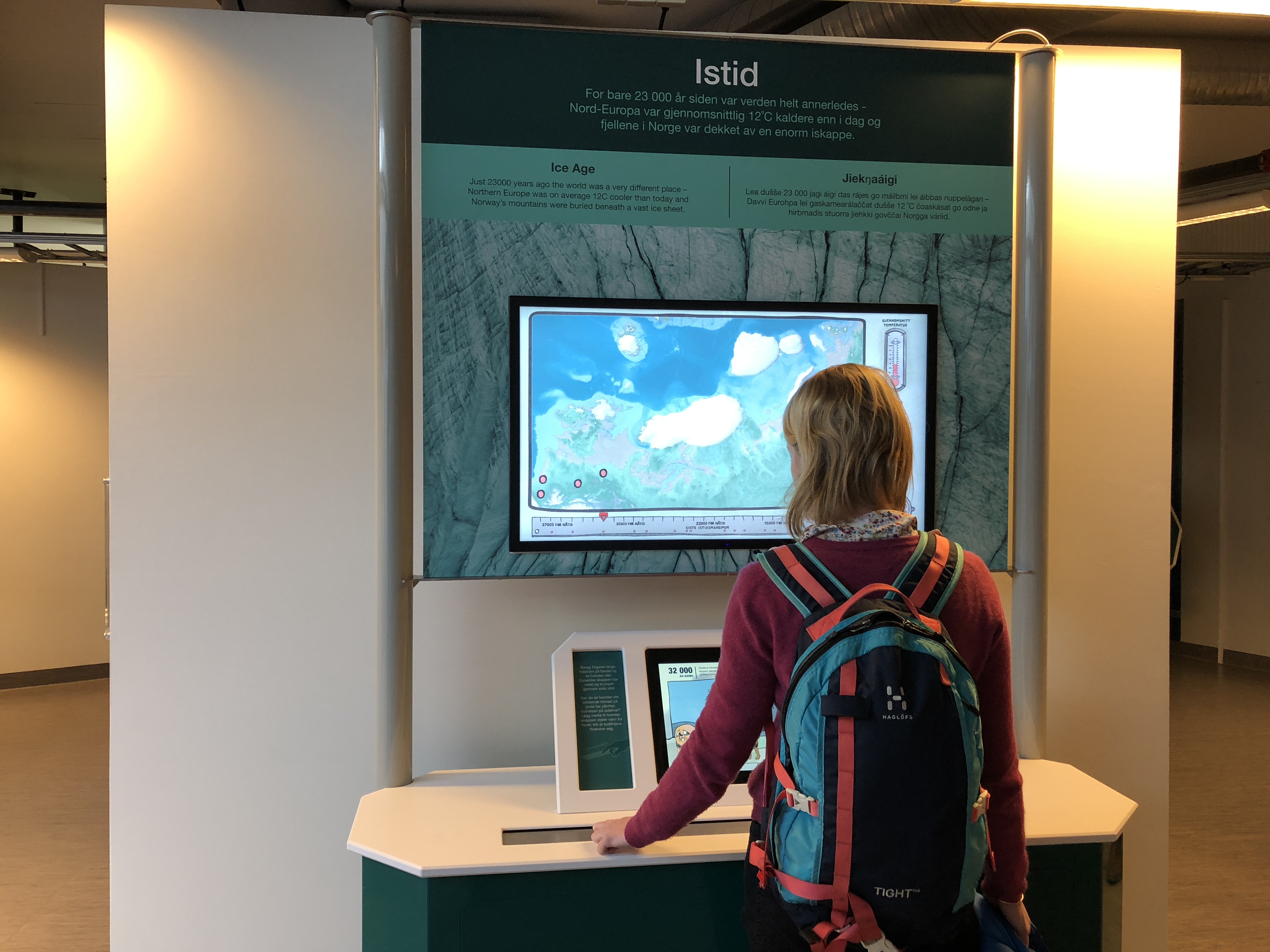
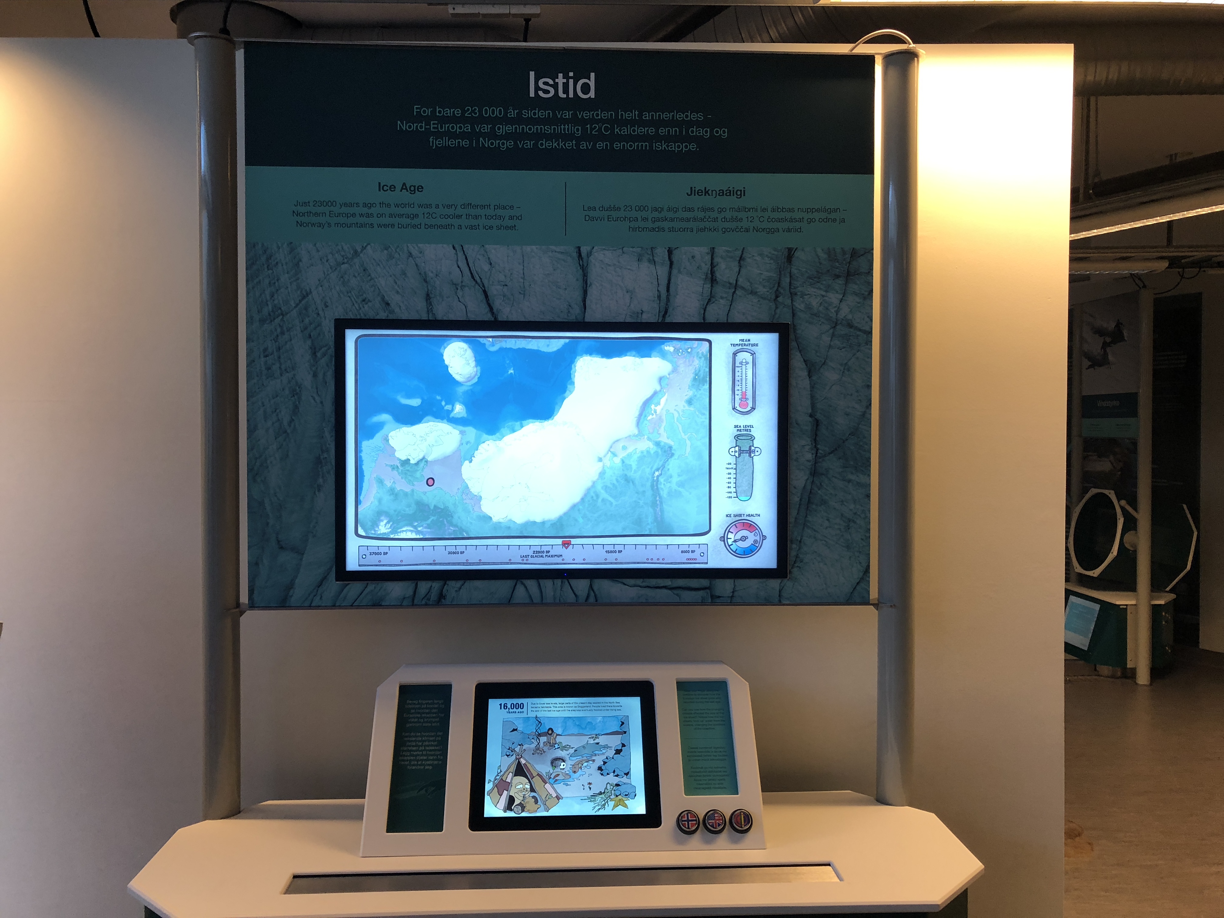
Interact with the ice age simulation, follow how the ice sheet grew and melted, and see how it affected our buddy Lenny Lemming* as he travels through thousands of years of climate change.
* Norwegian lemming (Lemmus lemmus) is a common species of lemming found in northern Fennoscandia. It is the only vertebrate species endemic to the region. According to genetic research the Norwegian lemming survived past glaciations in western Europe, inhabiting various small refuges which were not covered by ice.
LENNY’S JOURNEY

37,000
YEARS AGO:
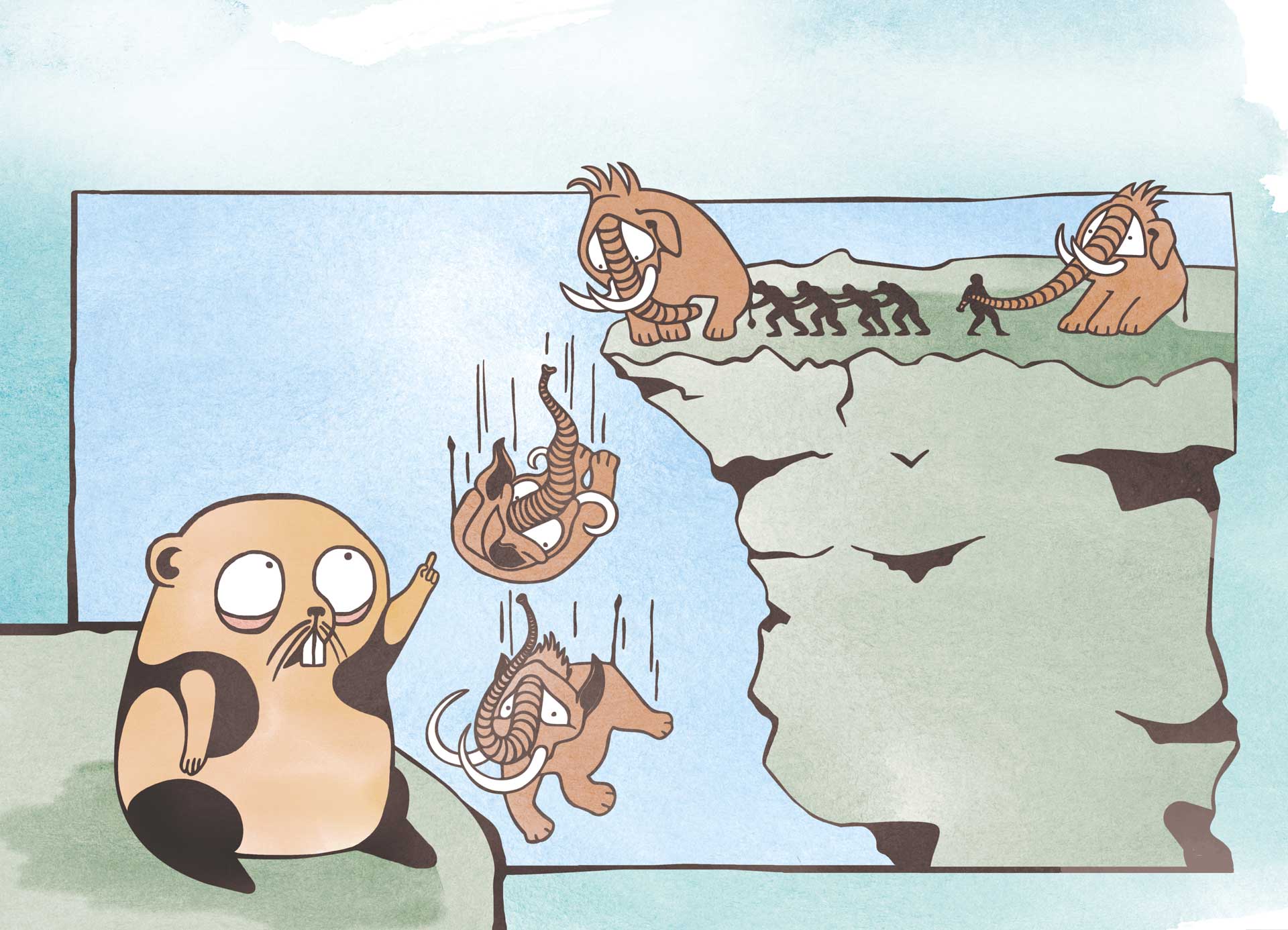
At the beginning of the last ice age, our ancestors did not yet live in Northern Europe. But the Neanderthals (Homo neanderthalensis) did. They hunted woolly mammoth by driving them off cliffs.
35,000
YEARS AGO:
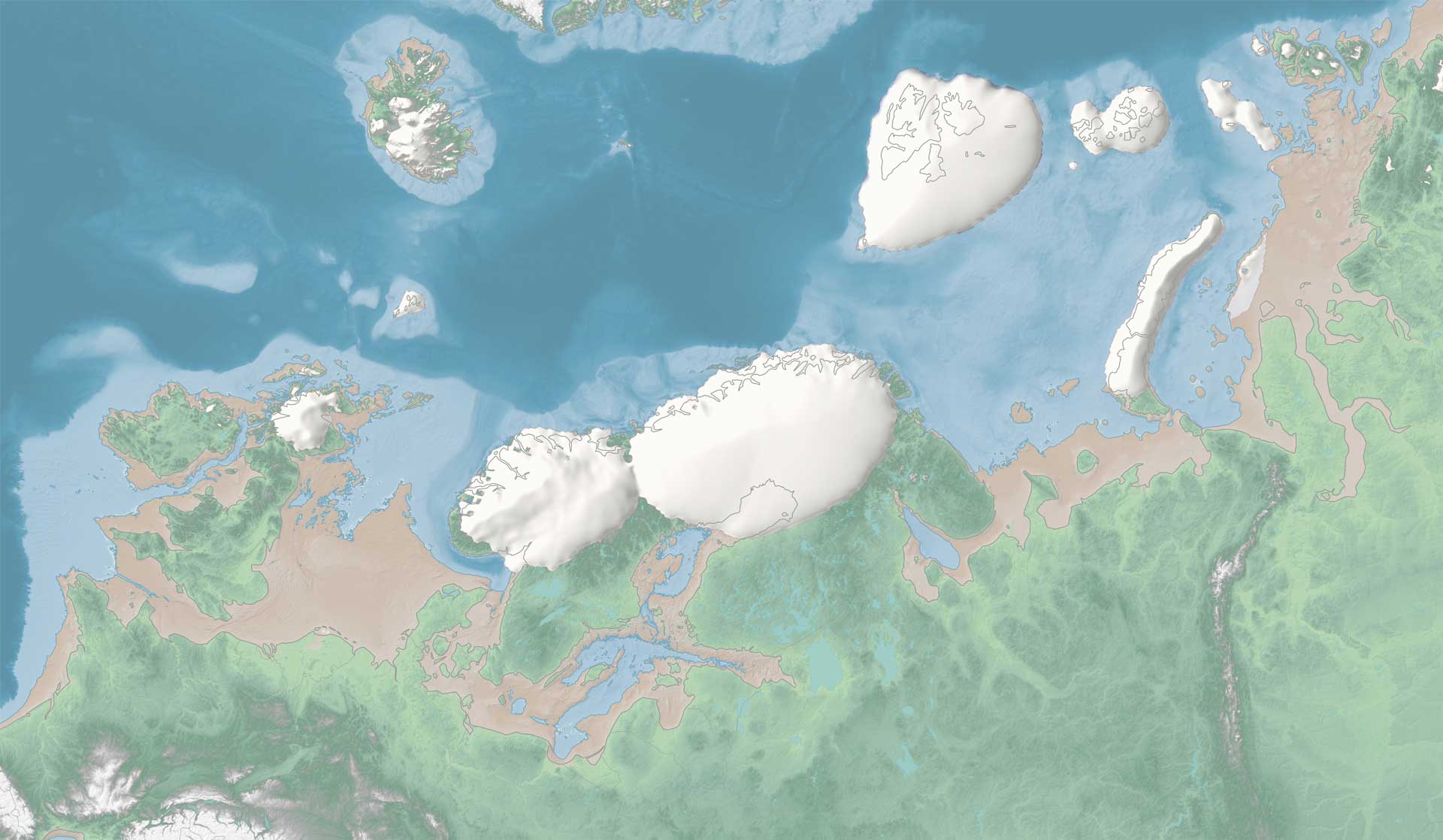
As the climate cooled, a number of small independent ice sheets began to form. An ice sheet is a large mass of ice that builds up with increased snow over mountains and then flows outwards. These ice sheets formed across Britain, Scandinavia, Iceland and one in the far north across the Barents Sea.
32,000
YEARS AGO:
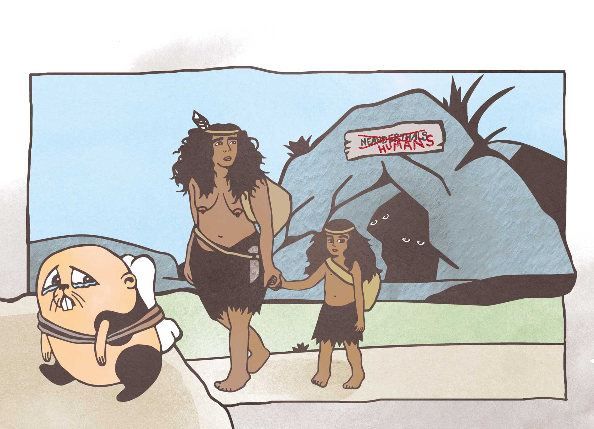
Modern humans (Homo sapiens sapiens) established themselves in Southern Europe. At the same time, Neanderthals mysteriously disappeared from the North. Many believe that the reason they went extinct, is the sudden cooling of the climate leading to fewer animals and plants to eat.
29,000
YEARS AGO:
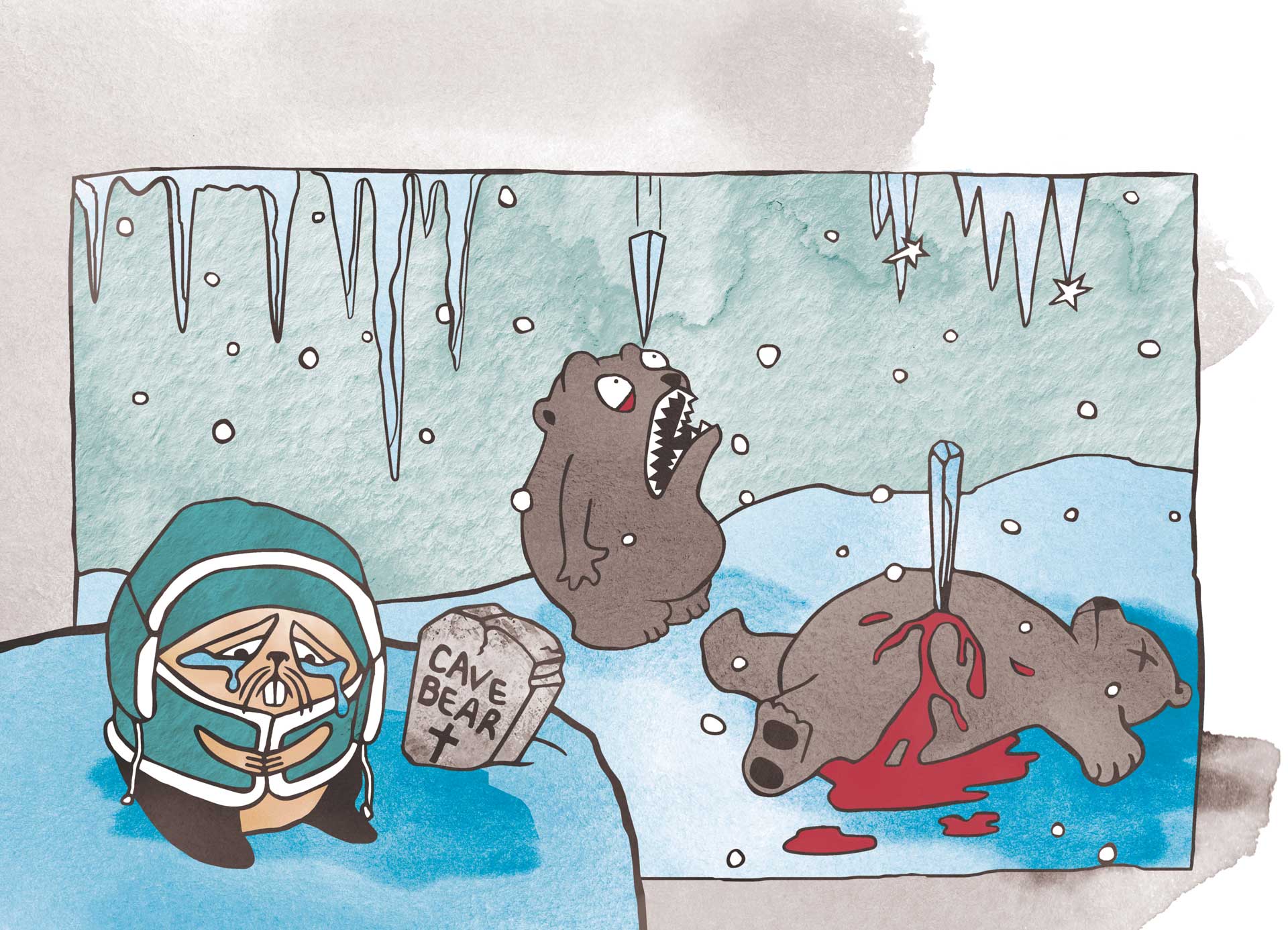
Many species began to die off because of climatic and environmental changes brought about by the ice age. The cave bear (Ursus speleaus) was one of these animals. It was much larger than today’s grizzly bear, but unlike the polar bear, it was not well adapted to frozen conditions.
27,800
YEARS AGO:
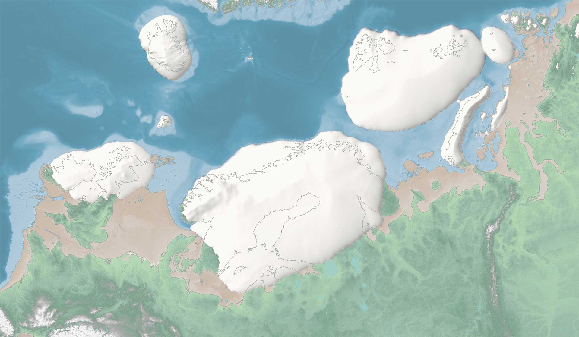
As more snow fell, the ice sheets grew steadily, locking up lots of frozen water like a reservoir. The storage of water as ice meant that there was less water in the oceans and global sea level was much lower than today. Coastlines expanded all across Europe.
25,000
YEARS AGO:
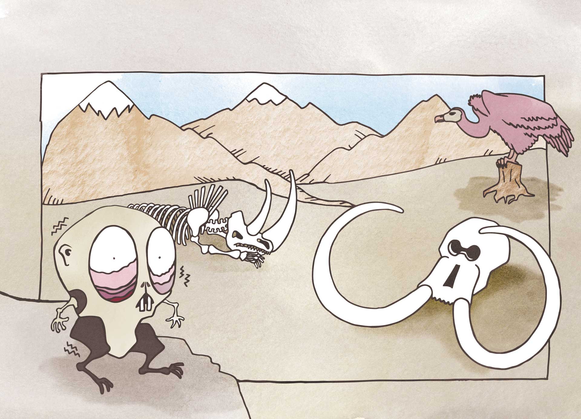
The ice cover changed the landscape and climate patterns. The ice sheets stole all the moisture from the air to the west. This meant that areas further east, like Siberia, became a polar desert.
23,000
YEARS AGO:
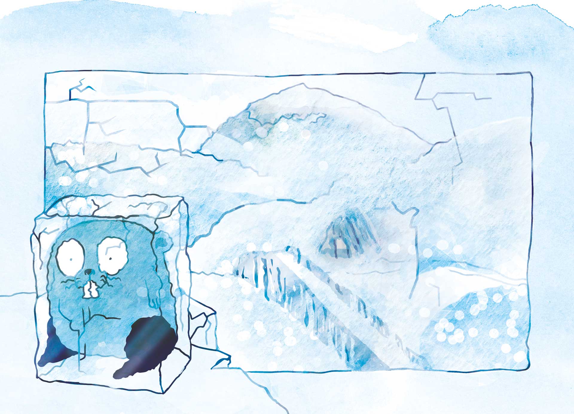
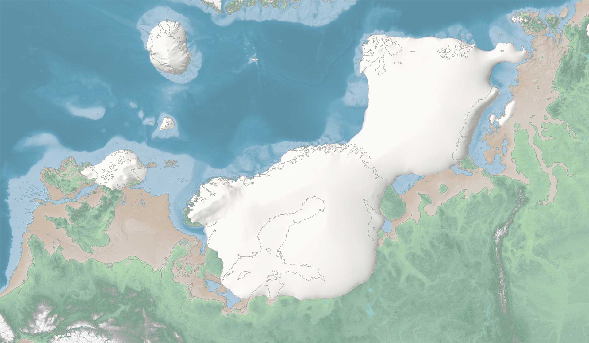
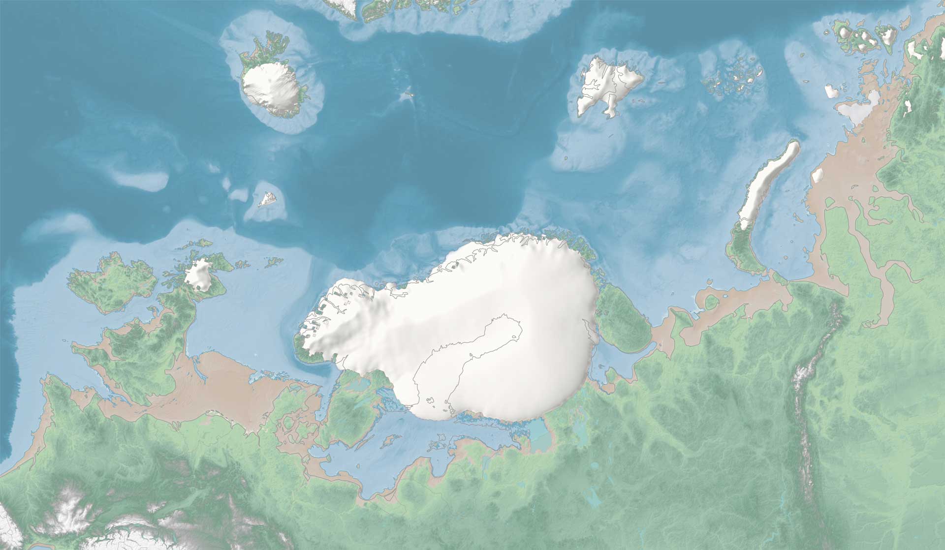
The three main ice sheets merged across northern Europe to form continuous ice cover stretching from the British Isles to Arctic Siberia. At the time of this glacial maximum, this immense ice sheet was over 3000 metres thick in places. For comparison, the mountain overlooking Tromsø – Tromsdalstinden, is just 1242 metres high.
22,700
YEARS AGO:
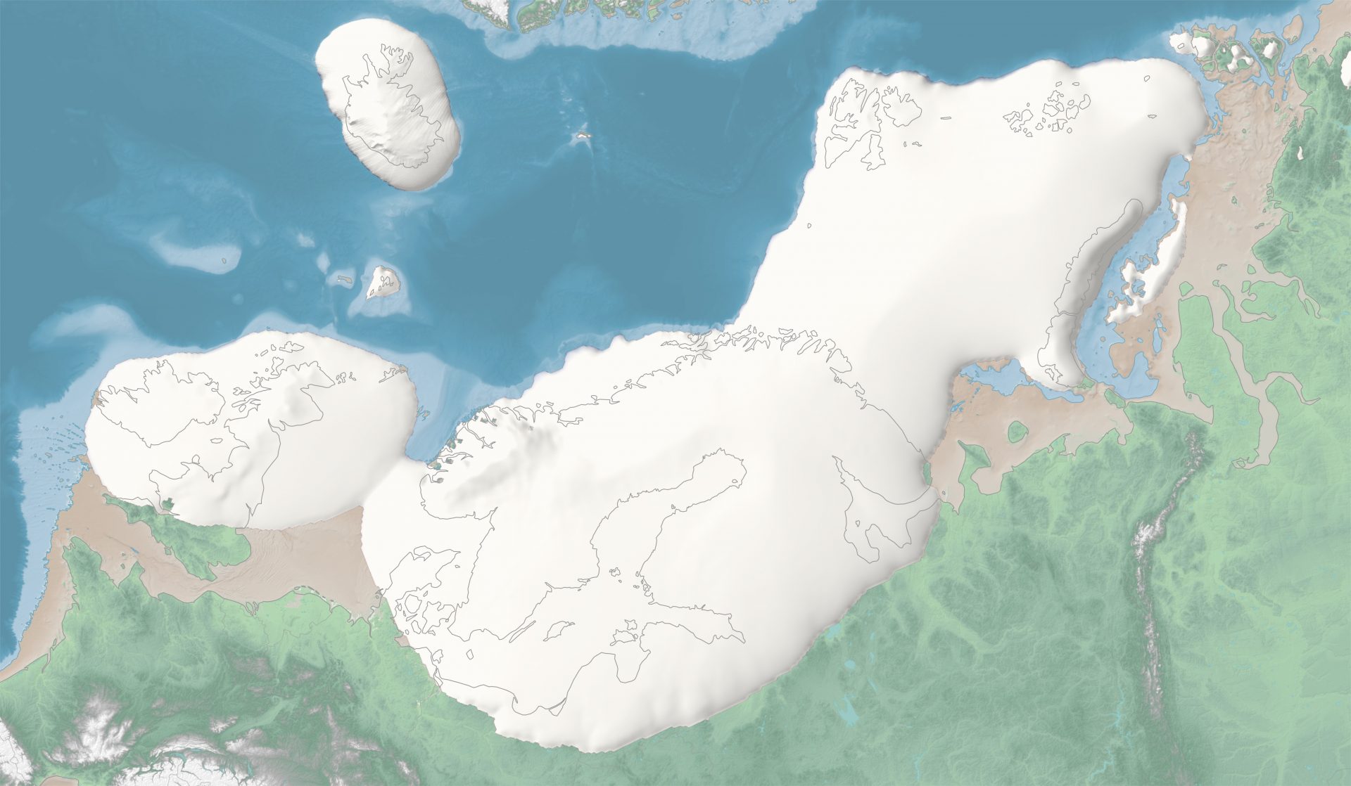
When the ice age was at its peak, global sea levels were over 120 metres lower than today. At the same time, the heavy weight of the ice sheets also pressed down on the land and seabed (called glacial isostatic depression).
22,500
YEARS AGO:
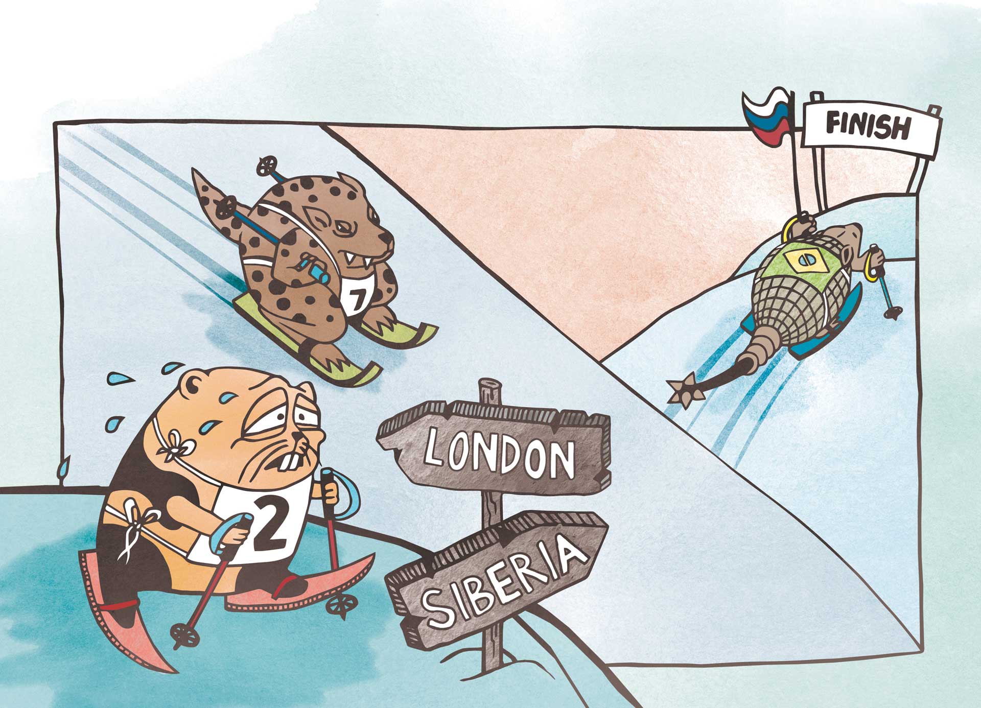
During the Last Glacial Maximum, it would have been possible to ski across this massive ice sheet continuously for over 4500 km: from the far Atlantic isles of western Britain to deepest Arctic Siberia.
19,000
YEARS AGO:
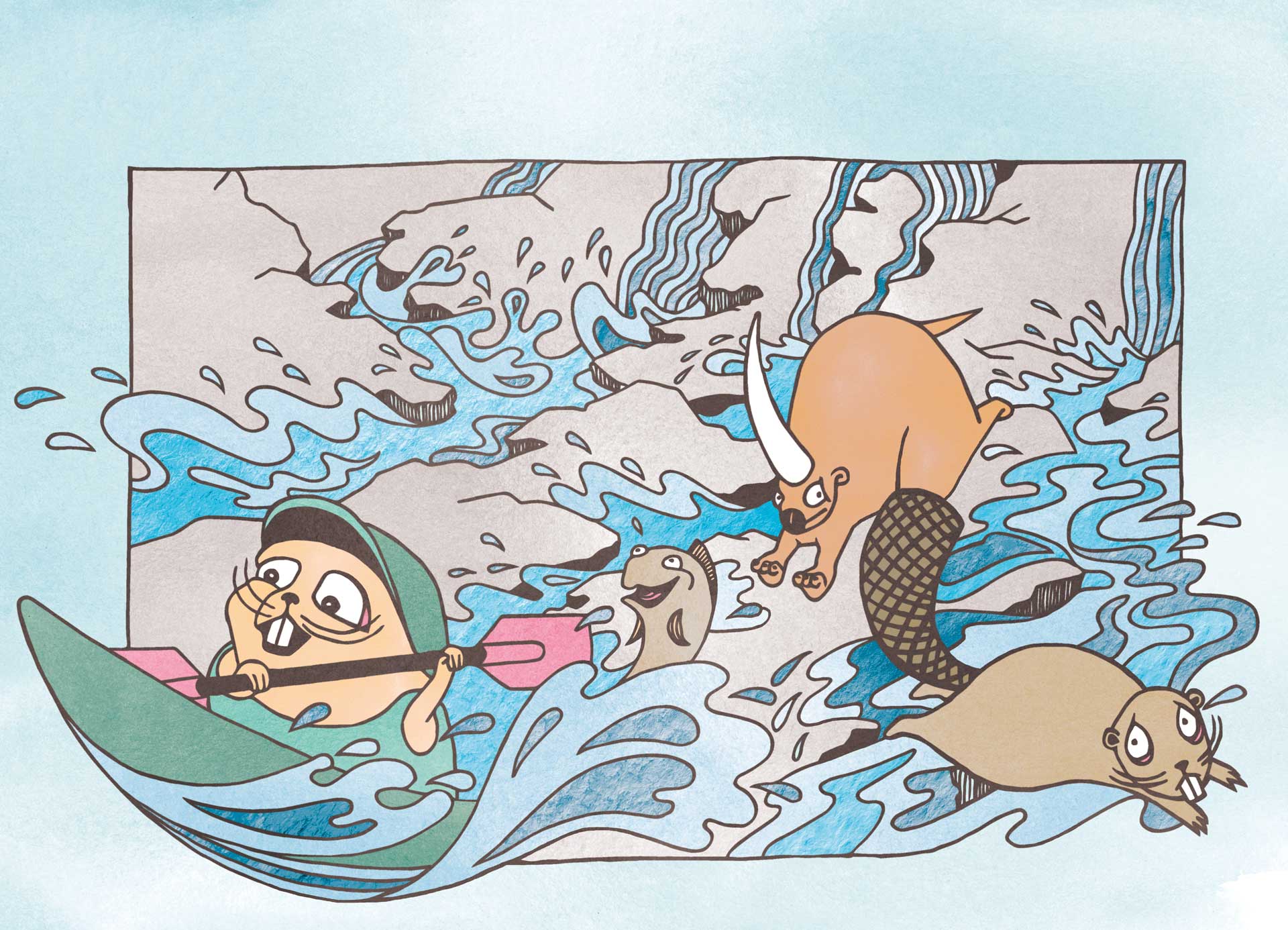
The ice sheets began to retreat as the climate warmed. An enormous river system formed across Western Europe draining into the Atlantic through northern France: the Fleuve Manche. It drained many rivers including the present-day Vistula, Elbe, Rhine, Seine and Thames, as well as capturing melt from the shrinking ice sheets.
18,000
YEARS AGO:
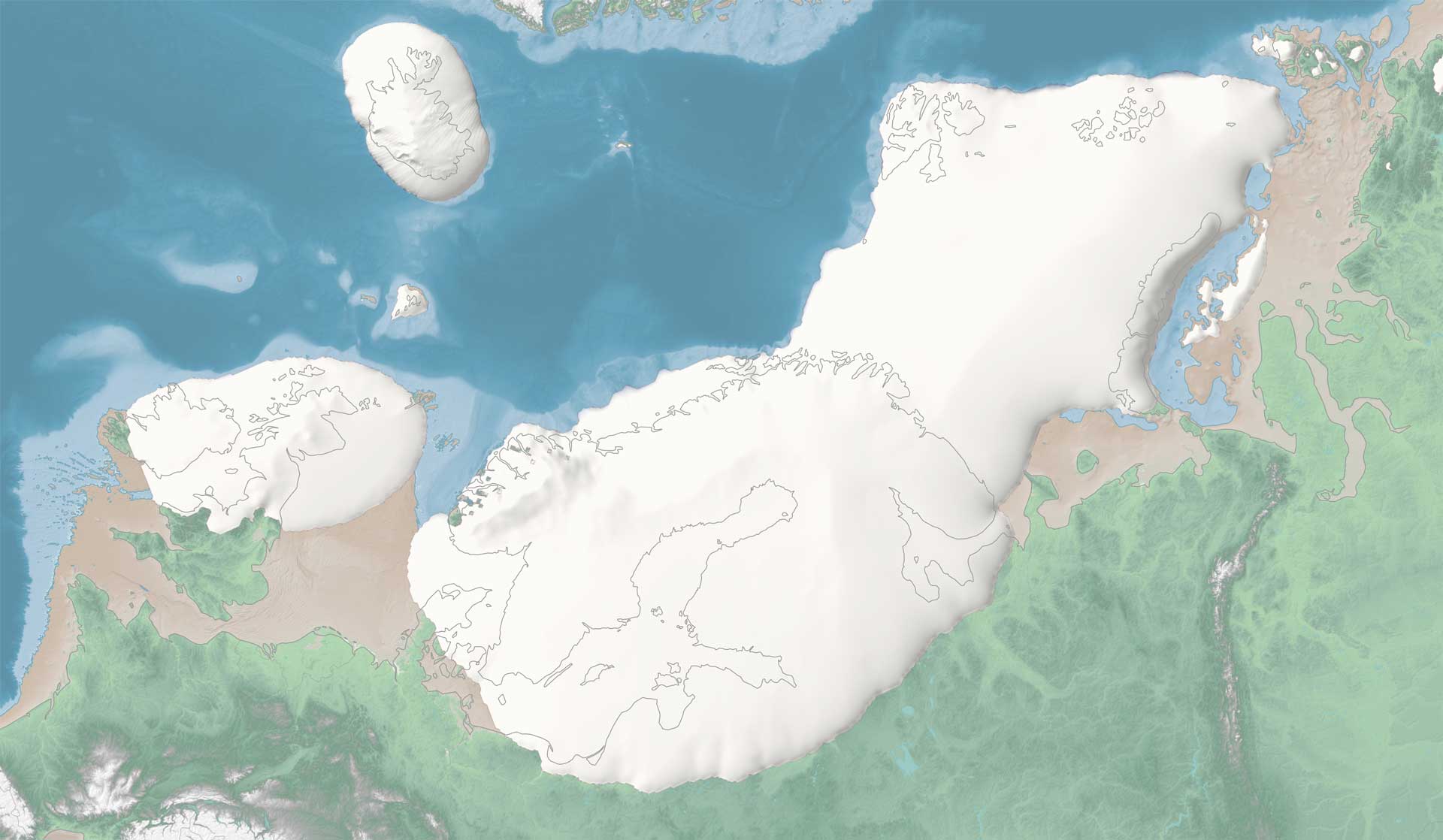
Climate warming started to accelerate: as the ice sheet continued to retreat more of the sun’s energy was absorbed by the darker land surface. Animals began to migrate northwards and settle in new areas where the ice sheets once stood. Modern humans – hunters and gatherers – followed soon after.
16,000
YEARS AGO:
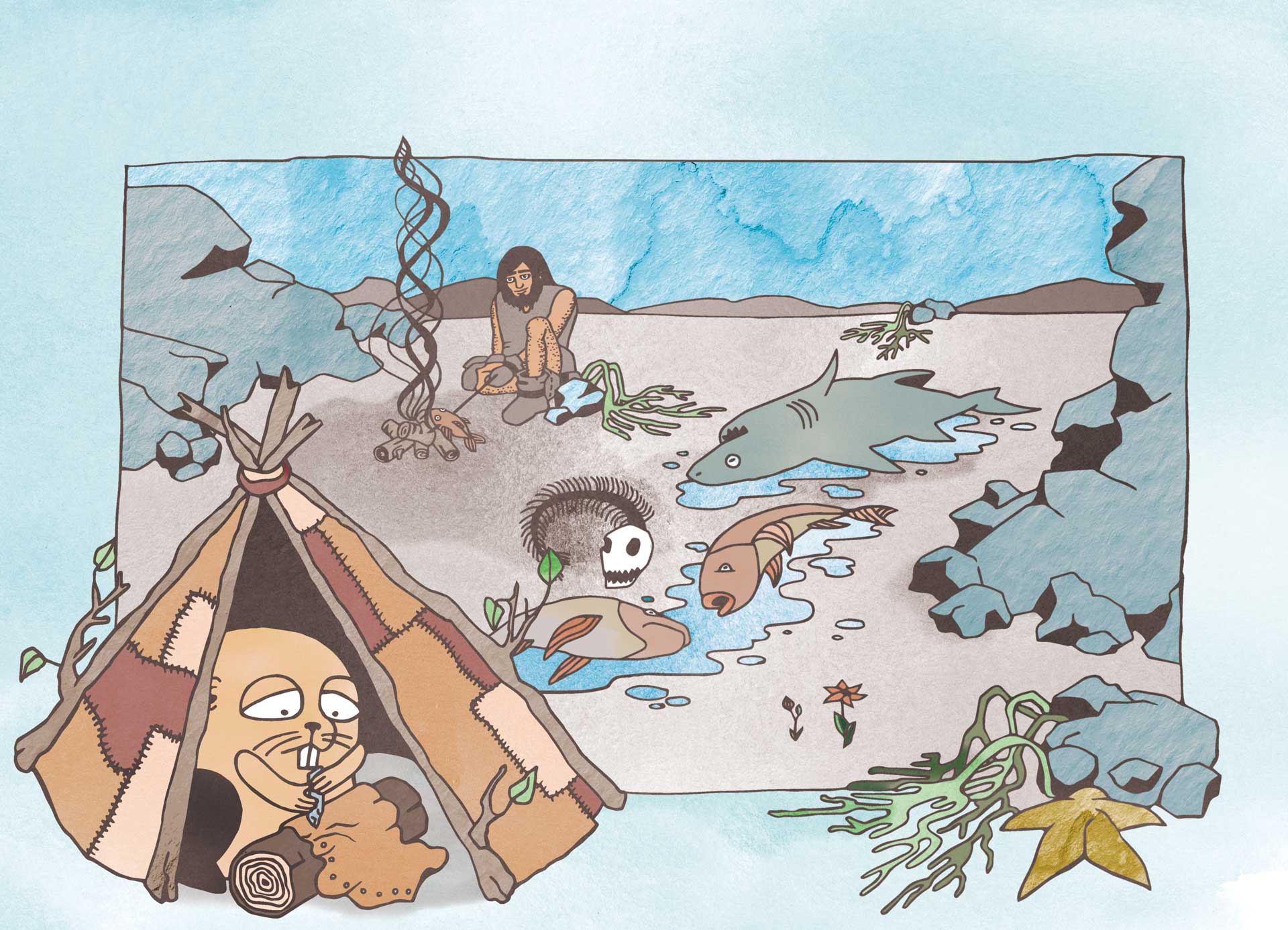
Due to lower sea levels, some of today’s seabed became habitable – particularly an area in the North Sea known as Doggerland. Also, parts of the Irish Sea became a large forest. People lived there, hunting and foraging for shell fish, until these areas were eventually flooded under rising seas.
15,000
YEARS AGO:
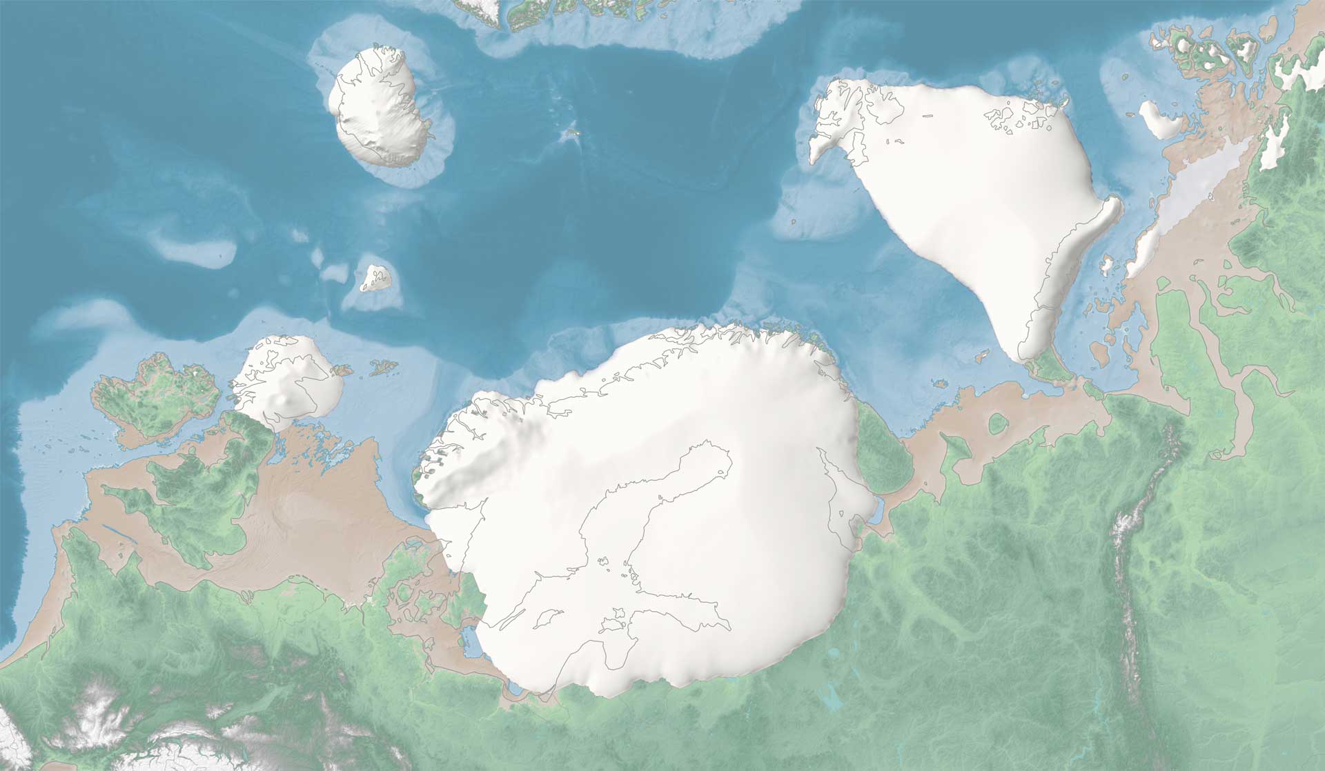
As the sea became warmer, ocean currents started eating away at neighbouring parts of the ice sheet. Ice in these marine areas quickly retreated, often with dramatic consequences, calving vast armadas of icebergs and causing periods of rapid sea level rise.
12,000
YEARS AGO:
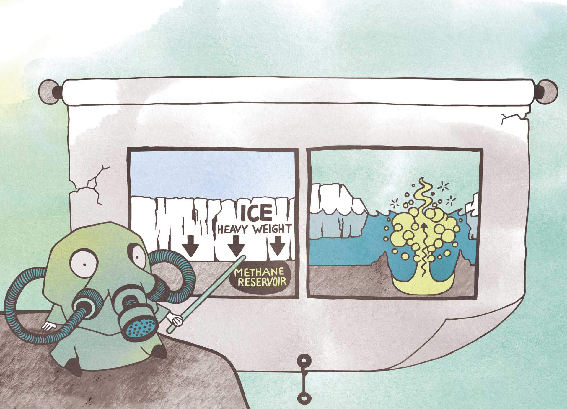
In the Barents Sea hundreds of kilometre-wide craters formed on the ocean floor. The thick ice kept a lid on large reservoirs of a potent greenhouse gas – methane. But as the ice disappeared, enormous amounts of methane abruptly escaped, forming the craters.
11,600
YEARS AGO:
As the ice melted, a large ice lake formed where the Baltic Sea is today. Eventually, the ice and land dam that could not hold the water any more. It breached and flooded into the Atlantic Ocean. Eventually the English Channel flooded too.
11,500 – 10,000
YEARS AGO:
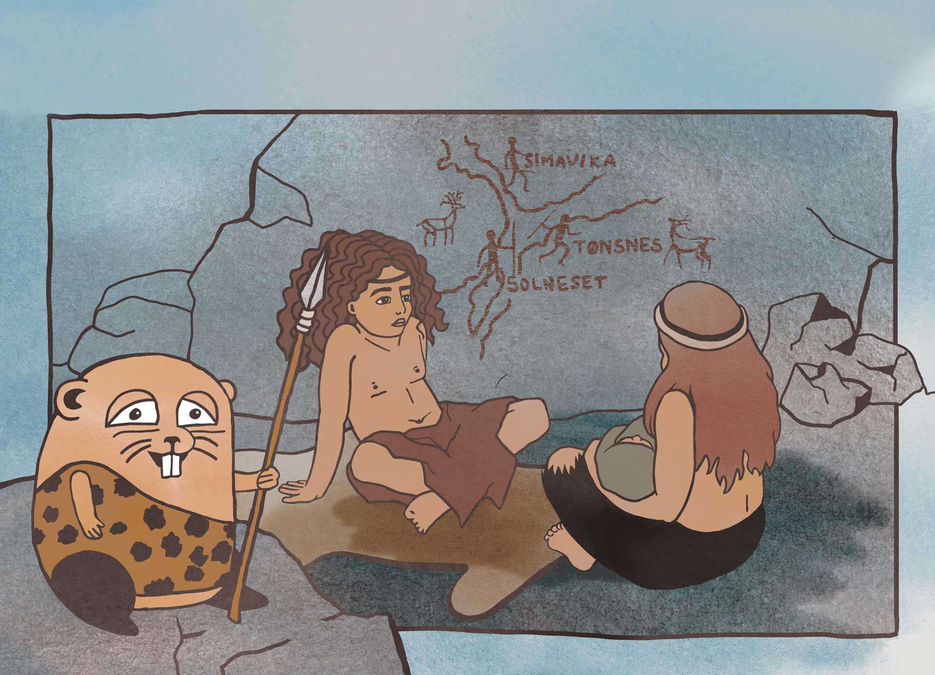
As the last remnants of the ice sheet melted, people migrated northwards. They traveled from what is Germany and Russia today. Excavations in the far north of Norway reveal Stone Age foragers and hunters well adapted to the environment.
10,500
YEARS AGO:
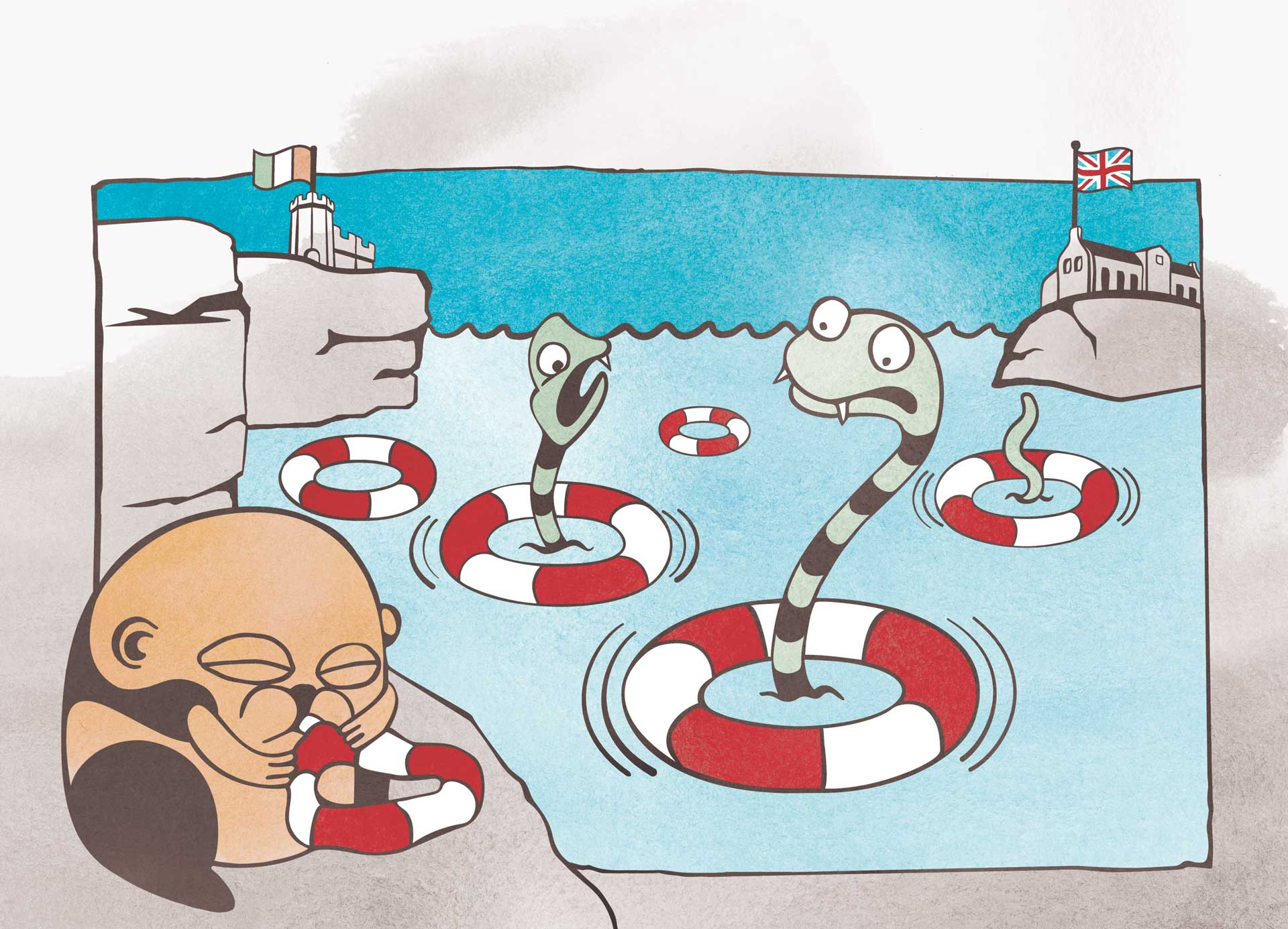
The forest land between Ireland and Britain was flooded to become the Irish Sea. This happened earlier than flooding of the English Channel, between Britain and Europe. For this reason there are no snakes in Ireland, yet there are snakes in Britain. They could not cross the Irish Sea.
8,200
YEARS AGO:
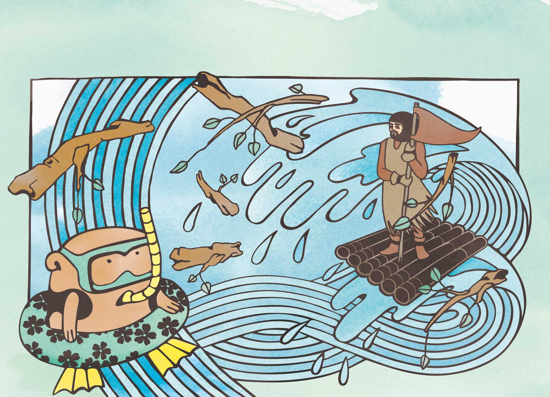
As the pressure from the shrinking ice sheet lifted, the seabed – loaded with glacial sediments – became unstable. This led to a massive underwater landslide known as the Storegga slide. It caused a 50-metre high tsunami that flooded the Norwegian and British coastlines, as well as inundating the last remnants of Doggerland.
8,000
YEARS AGO:
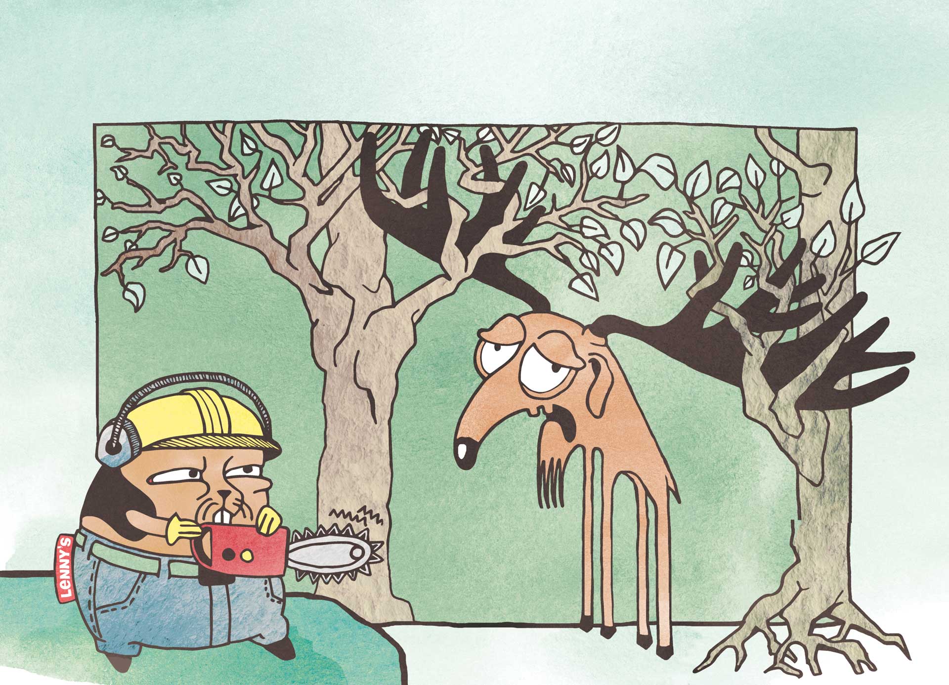
The giant deer (Megaloceros giganteu) became extinct. With its enormous antlers, it was well adapted to life on open plains. However, once the climate warmed and the forests grew, the deer’s antlers got stuck in the branches. They quickly became easy prey for predators, including humans.
VIDEO
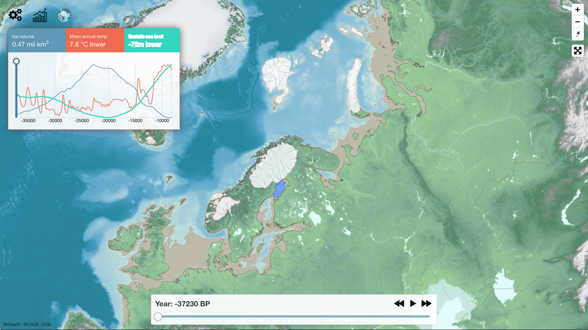
Watch how ice sheets came to dominate the Eurasian Arctic and northwest Europe during the end of the last ice age, before disappearing 10,000 years ago. As the ice sheets grew in volume, more and more water from the oceans became locked up as ice, thus lowering sea level and leaving parts of the present-day seabed exposed.

TODAY
Ice Ages have come and gone for the past three million years, due mostly to changes in the Earth’s tilt and orbit around the Sun. We are presently in an unusually long interglacial period: the Holocene. It has lasted over 10,000 years with a warm and stable climate highly favourable to the development of agriculture and civilisations.
FUTURE
There are only two great ice sheets left on the planet today – Antarctic and Greenland. But they are also now in retreat due to climate and ocean warming over the past century. Enhanced global temperatures and melting of ice across the Arctic, Antarctic and mountain regions is causing untold damage to the Earth’s most sensitive environments and habitats.
CONSEQUENCES
Human emission of greenhouse gases through fossil fuel burning is dramatically warming the Earth’s climate. These changes will continue to get worse if we don’t find ways to limit our emissions and impact. Sea levels could rise by 10s of meters as the polar ice sheets retreat, flooding some of the most populated coastal areas and cities on the planet.
Check out our interactive map!
Do you live on a former glacial lake? How cold was the ice age? Get hands-on with the ice sheet model and find out more details of how the environment in Europe changed during the last ice age.
INSTALLATION
ICEMAP is not only a digital experience. It is also an interactive installation, which holds a prominent position in the new Climate exhibition at Nordnorsk vitensenter in Tromsø. There, children of all ages can learn about connections between climate, environment and humans.
TEAM
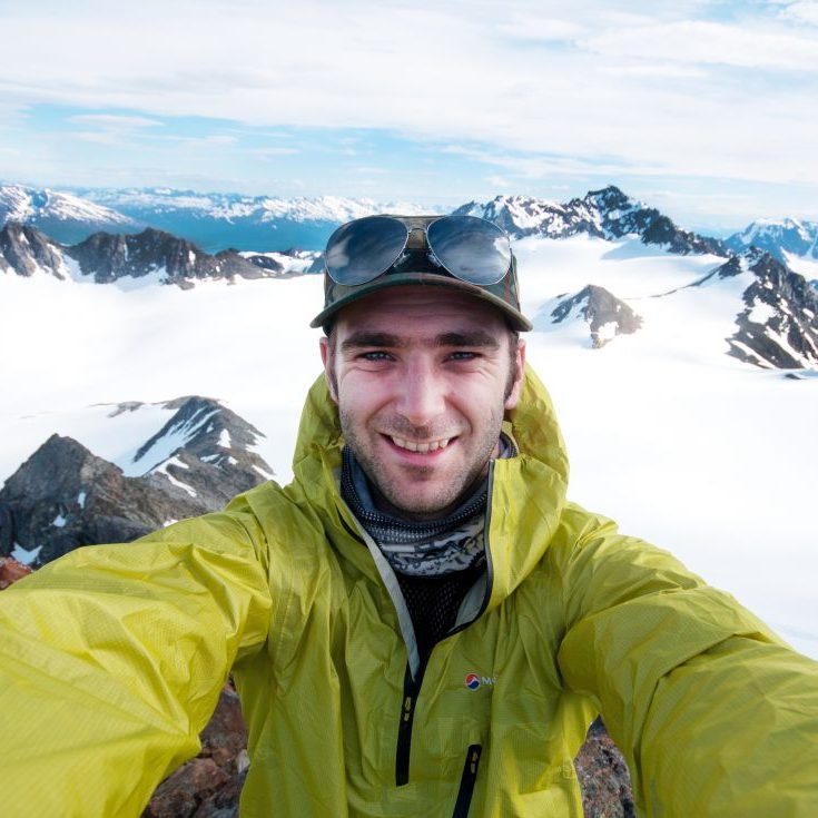
Henry Patton, researcher CAGE
My research involves reconstructing the vast ice sheets that repeatedly covered Eurasia and the Arctic during past ice ages. Using geological clues left behind by the ice sheets, I use models to simulate how these ice masses evolved over many thousands of years, as well as how they interacted and affected the landscape and surrounding environment.
I have created the map visualizations for this project as well as the interactive map. The underlying Eurasian reconstruction found on these pages is based from a set of recently published peer-reviewed articles.

Maja Sojtaric, science communicator CAGE
Throughout my career, I have translated scientific research into a language that the general public can understand. Using my background literature studies, I have tackled many natural science disciplines and told the many stories found beneath the quantitative data. I am a project manager for ICEMAP and helped to develop the storyline and the framework around the data visualization and model reconstruction of the Eurasian ice sheet.

Alun Hubbard, glaciologist, UiT-CAGE / Aberystwyth
I’ve spent much of my life wandering on and around today’s great ice sheets – in Greenland, Antarctica, and many glaciers and ice caps in between. This fieldwork helps inform how these immense conveyors of ice flow, respond to climate and ocean variability, and sculpt the stunning landscapes they leave behind (as witnessed in Scandinavia, Britain and North America today). As well as providing new insights into how ice masses behave, these data are also used to train computer models to reconstruct past and future ice sheet evolution and contribution to global sea-level rise – such as the model that Henry and I developed for the Icemap simulation here.


